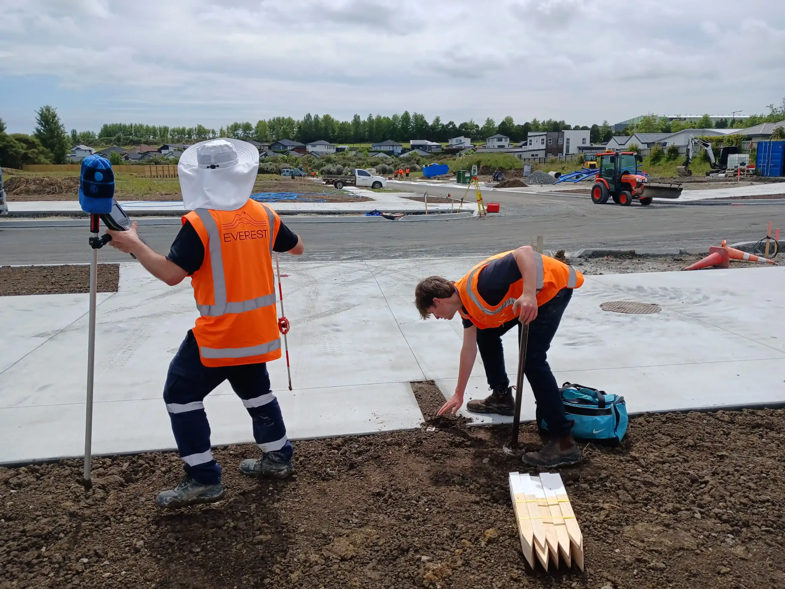
Legal Land Definition and Boundary Clarity
When subdividing land, a precise land transfer survey is a key part of the process. As licensed cadastral surveyors, Everest Consultants provide detailed legal plans that define property boundaries, easements such as jointly owned access lots (JOALS), right of way (ROW), and other interests, providing a legal public record of the extent of your land ownership or interest.
Our surveys are prepared for council approval under Section 223 of the Resource Management Act 1991 and for Land Information New Zealand (LINZ) approval, establishing a clear legal record of land ownership and interests. These surveys include the placement of boundary markers, offering a tangible reference for property extents.
Our Surveying Services
Everest Consultants offers a full range of land transfer surveying services, including:
- Fee Simple / Freehold Subdivisions
- Unit Titles
- Easement and Covenant Surveys
- Boundary Reinstatement Surveys
- Cross Lease Updates and Conversions
- Removal of Limitations Surveys
Our team ensures that each survey meets the specific requirements of your project, providing accurate and reliable data for legal and development purposes.

The Everest Difference: Practical Thinking, Proven Outcomes
In-Depth insight
Mapping client objectives to regulatory and operational realities
Non-linear thinking
Identifying unexpected avenues to success
Consistent collaboration
Liaising across disciplines for fully managed outcomes
Straightforward updates
Making decisions easier with simple, honest communication


Frequently Asked Questions
Get practical advice on your project – Talk to Everest
Greenlane
Papakura
"*" indicates required fields
