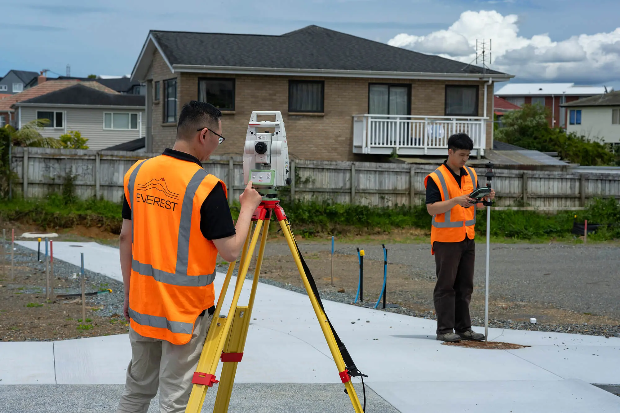
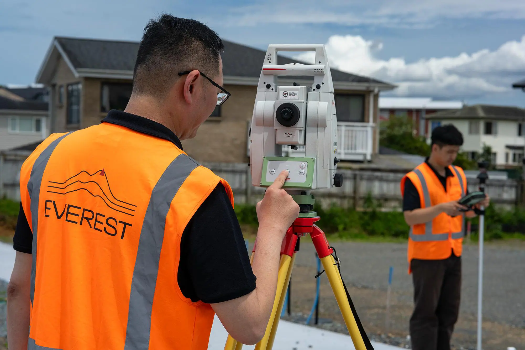
A cadastral surveyor plays the primary role in defining and documenting property boundaries. This ensures land records are legally sound and disputes are avoided; aside from the lawyer updating the title records at the end, the surveyor completes this entire process. If you’re subdividing, updating a cross lease, or resolving a boundary issue, a licensed cadastral surveyor (LCS) is required to complete and certify the Land Transfer Survey (Legal Survey). Everest Consultants provides expert cadastral surveying services, offering precise, legally compliant solutions for property owners, developers and government projects.
Subdivisions, Unit Title, & Cross Lease Conversions
If you’re completing a subdivision, developing unit titles, or converting a cross lease to freehold, a licensed cadastral surveyor is required to finalise the Land Transfer Survey. Our team ensures all boundary changes are legally documented and meet council requirements. We handle:
- Subdivisions – Creating new legal property titles
- Unit Title Developments – Defining ownership structures for multi-unit properties
- Cross Lease to Freehold Conversions – Transitioning shared ownership structures to individual titles
- Removal of Limitation Surveys – Creates a non-limited (guaranteed) property title
- Boundary Adjustments – Modifying legal land boundaries
Boundary Disputes & Legal Verification
Unclear property boundaries can lead to legal and financial complications. If you have a boundary dispute, a licensed cadastral surveyor can provide official boundary markings and documentation that can be used in court. Everest Consultants delivers precise surveys to establish clear, legally recognised property boundaries, ensuring ownership rights are upheld.
Government & Infrastructure Legalisation Surveys
When land is acquired for public projects, a legalisation survey is needed to formally separate the land. This process, similar to a boundary adjustment, ensures compliance with regulatory frameworks. Everest Consultants provides:
- Legalisation Surveys – Defining land for public infrastructure use
Land Acquisition - Land Acquisition Documentation – Preparing legally sound records for government projects
Certification Surveys & Compliance Checks
Certain property developments and construction projects require certification surveys before proceeding. This will need a signoff from a cadastral surveyor. Everest Consultants provides:
- Setout Certificates – Verifying accurate building placement on-site
- Siting & FFL Certificates – Confirming floor level compliance
- Height in Relation to Boundary Certificates (Framing Check) – Ensuring structures meet height regulations
- Survey As-Builts – Documenting completed projects for council approvals

The Everest Difference: Cadastral Surveying
Big-Picture Boundary Expertise
Our cadastral surveyors look beyond lines on a map. We take into account your development plans, boundary history and land use goals, making sure everything aligns with planning regulations and long-term project needs.
Solution-Focused, Site-Smart
At Everest, we don’t follow a rigid checklist. We approach each site with a problem-solving mindset, delivering workable, efficient outcomes that support boundary clarity and compliance, whether you’re subdividing or managing existing titles.
Working Together to Get It Right
We collaborate with councils, engineers, planners and legal professionals to ensure every detail is correct. With one key contact from our team, you get consistent updates and smoother communication throughout the surveying process.
Straight Answers from Day One
Boundary surveys can be technical, but we keep it clear. From title review to fieldwork and certification, we explain what’s happening and why, giving you the confidence to move forward.
Learn more about our team and services here.


Frequently Asked Questions
Get practical advice on your project – Talk to Everest
Greenlane
Papakura
"*" indicates required fields
